Precision agriculture
Drone-Enabled Virtual Agriculture Visualization
Virtually map your fields to better understand crop health, potential yields and structural damage with drone-enabled geo-visualization.
Get real-time aerial insights that enhance crop monitoring, soil analysis, and resource management. With precise data on plant health and field conditions, farmers can optimize irrigation, pest control, and yield predictions, driving smarter, more sustainable farming practices. This cutting-edge technology empowers growers to make data-driven decisions for higher productivity and efficienc
Spatial Data for Agriculture
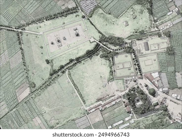
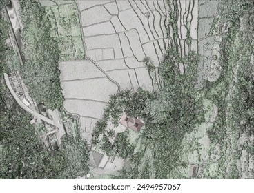
Drone-powered spatial data transforms agriculture by delivering detailed, high-resolution maps that reveal patterns in soil quality, crop health, and terrain. This data allows farmers to make informed decisions about planting, irrigation, and land use, boosting efficiency and crop yields. By leveraging spatial insights, agriculture becomes more precise, sustainable, and responsive to environmental conditions.
Powered by AI
Automatically detect features like rad centers and allow our AI engines to develop the best flight path for your model.
We Specialize in Precision
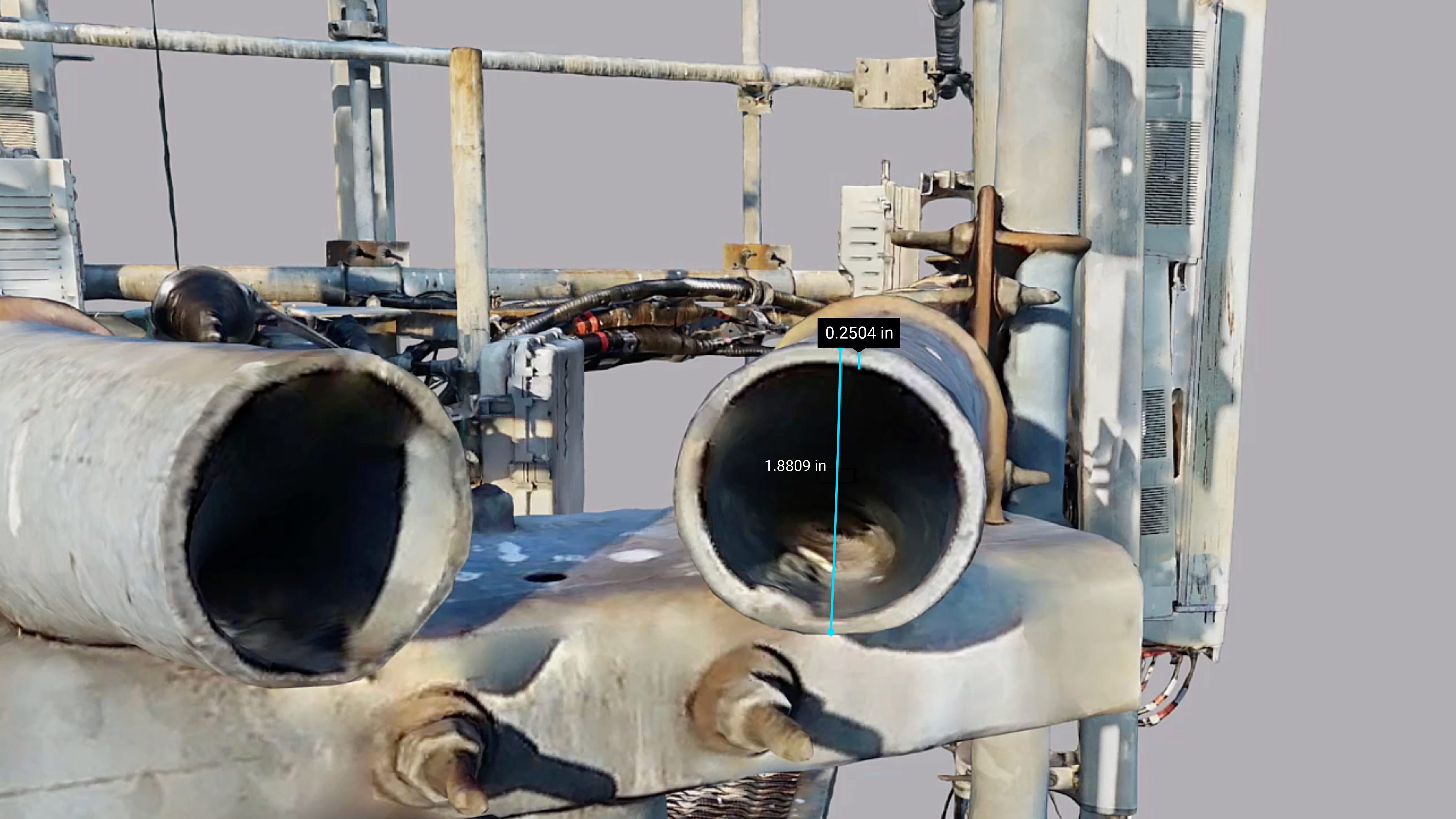
Measure the thickness of steel.
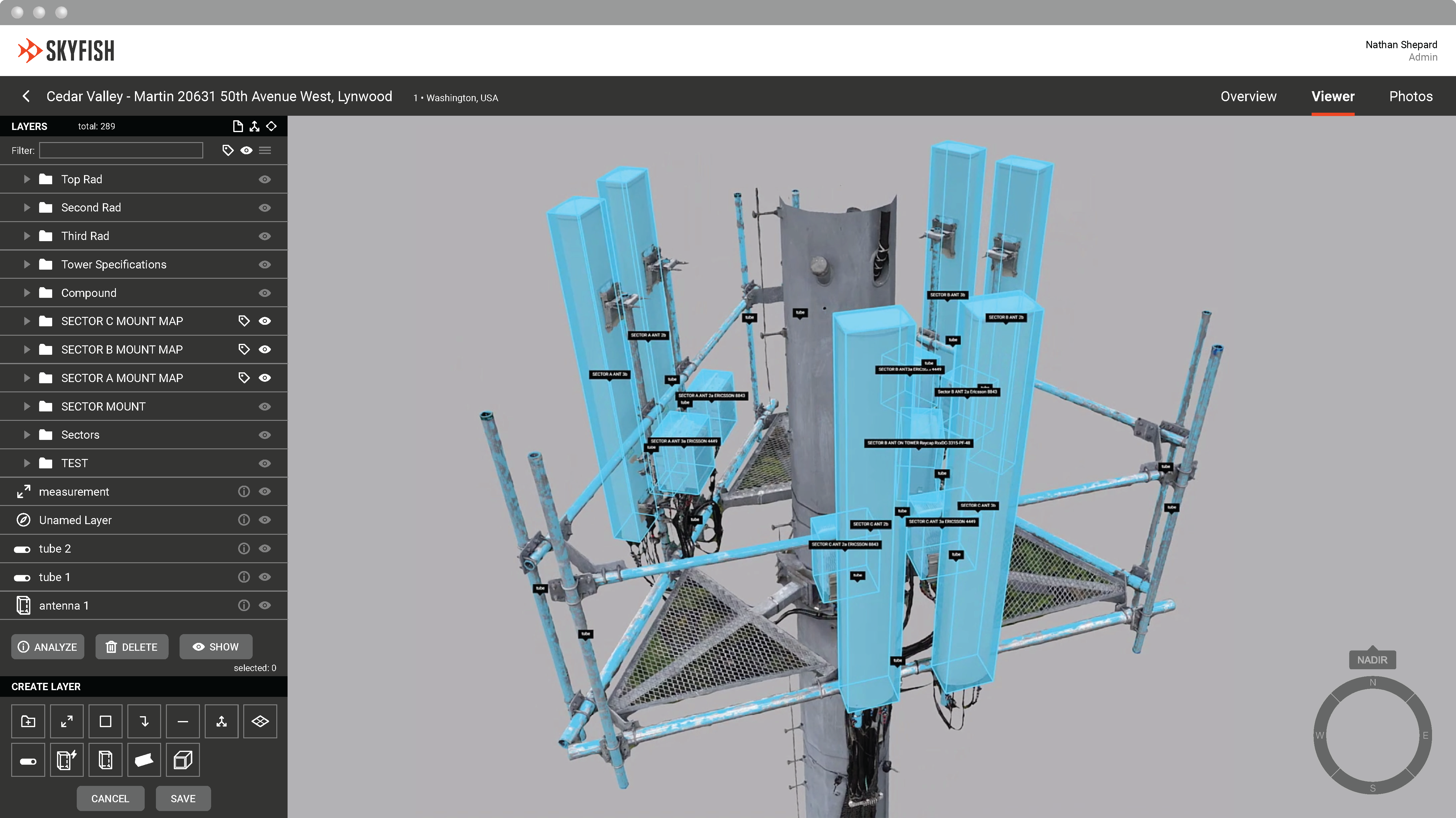
Skyfish creates pristine cell tower 3D models that are measurable and accurate up to 1/32 of an inch. Within the model, teams can make focused, precise measurements, identify maintenance needs, generate reports, and export to CAD.
