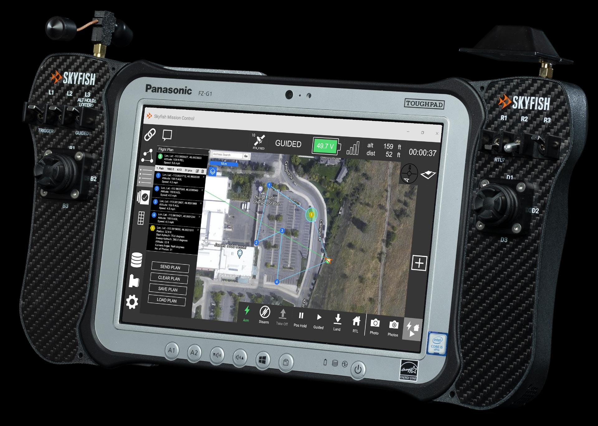
Remote ground control.
Flight Planning
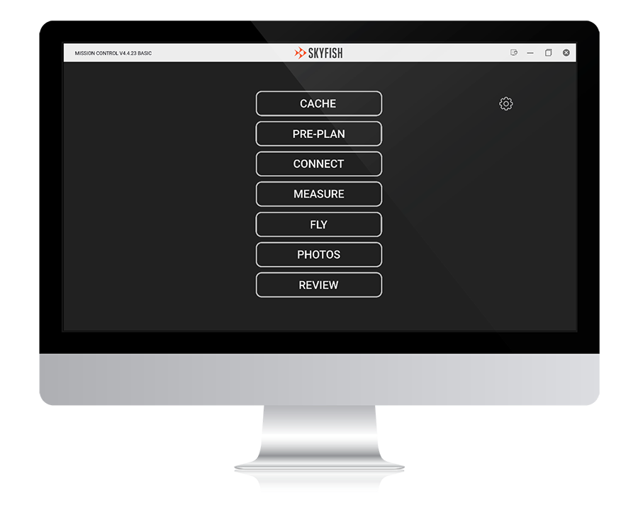
Skyfish has customized QGroundControl for flight navigation and integrated the software with our proprietary remote controller. The rugged Skyfish controller is ready for deployment in harsh environments (e.g., desert, mountain, humidity) and features a large screen for better situational awareness during missions. The Skyfish remote controller is made in the USA and is NDAA compliant.
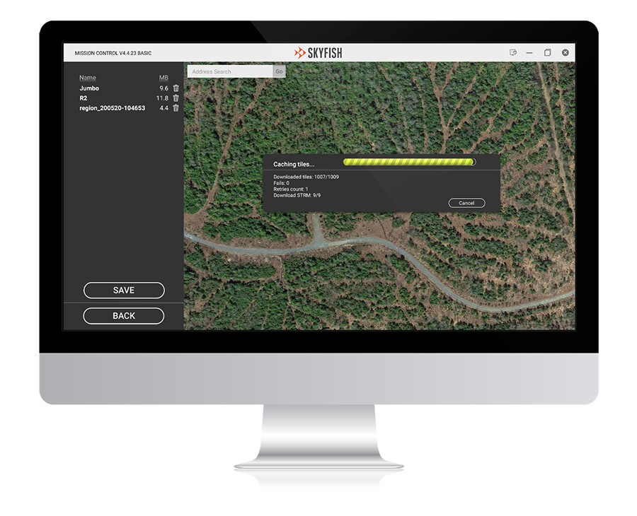
Map Caching & Management
Review flight areas, cache local maps, and ensure flight preparedness. Detailed pre-flight checklists to ensure the best flight results and data collection. Our dedicated app gives pilots the same level of control on-the-go.
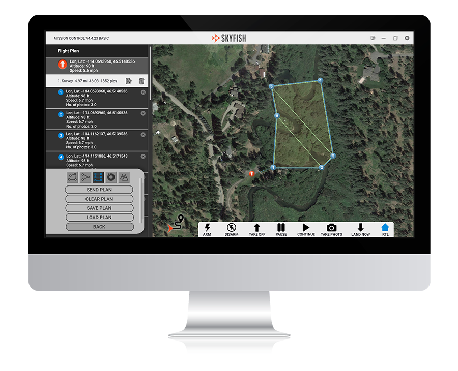
Flight Planning
Input markers and points of interest. Select flight modes and other customizations. Skyfish gives pilots full control over mission planning and terrain assessment and allows pilots to define unlimited waypoints and camera angles with the tap of a finger.
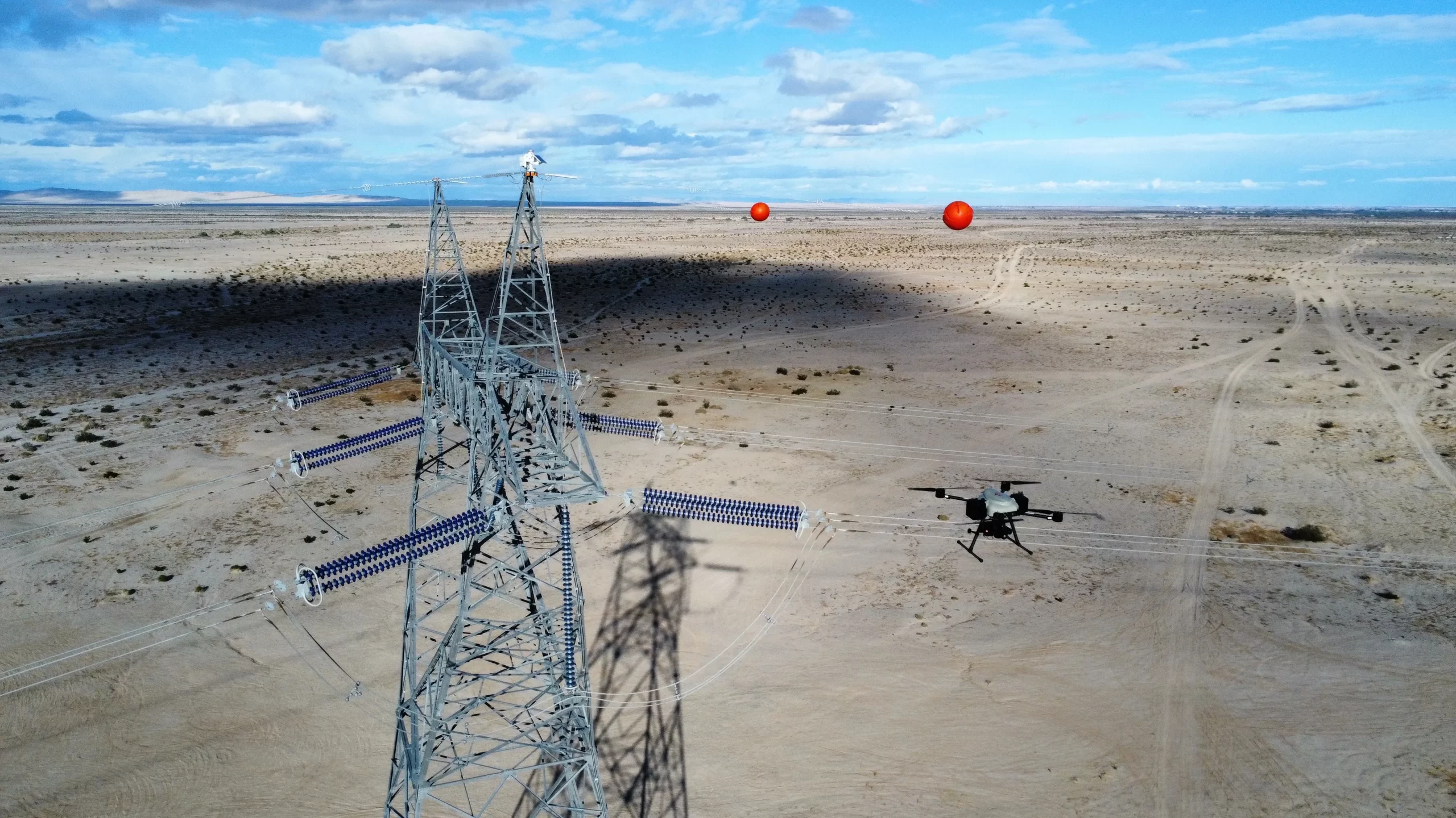
In-Flight
In the field, we’ve optimized the software for our remote controller, providing a ruggedized interface for users. Watch your drone work through target points and modify flight details as needed.
Post-Flight
Review and manage flight logs, captured media, profile settings, KML, and various export options.