Photogrammetry for utilities infrastructure
Reduce Inspection Time from Miles of T&D
Weather, age, population growth and regulatory pressures are pushing the utilities sector to advanced technologies like drone-enabled photogrammetry. Optimize T&D asset management and detect defects within hours of collection.
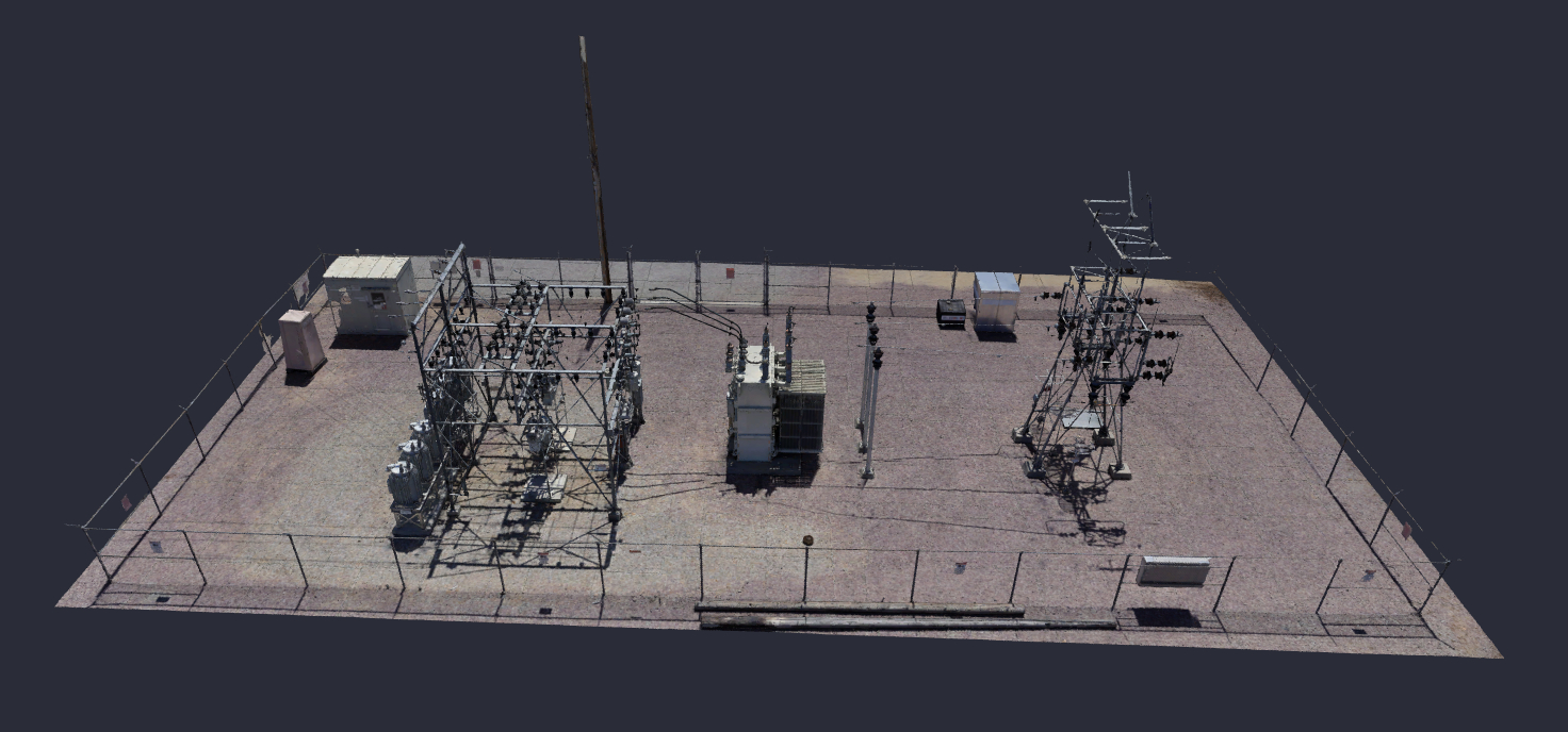
Exceptional 3D Models
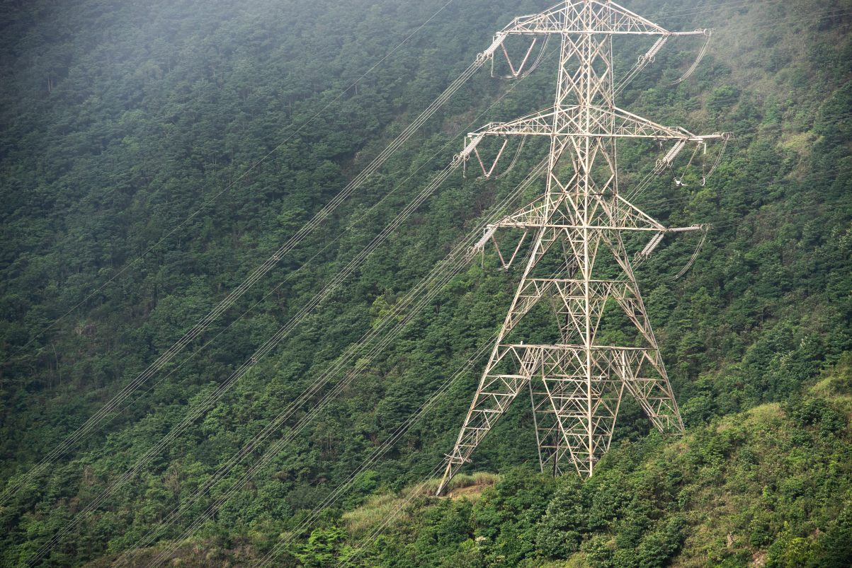
Skyfish can support utility organizations in their mission to survey sites and assets more quickly and with greater accuracy. Our AI enabled drone technology can automatically develop the best flight plan so you get the most accurate digital twins on the market. Our American-made end-to-end platform provides better insights for your engineers.
AI Improves Accuracy & Efficiency
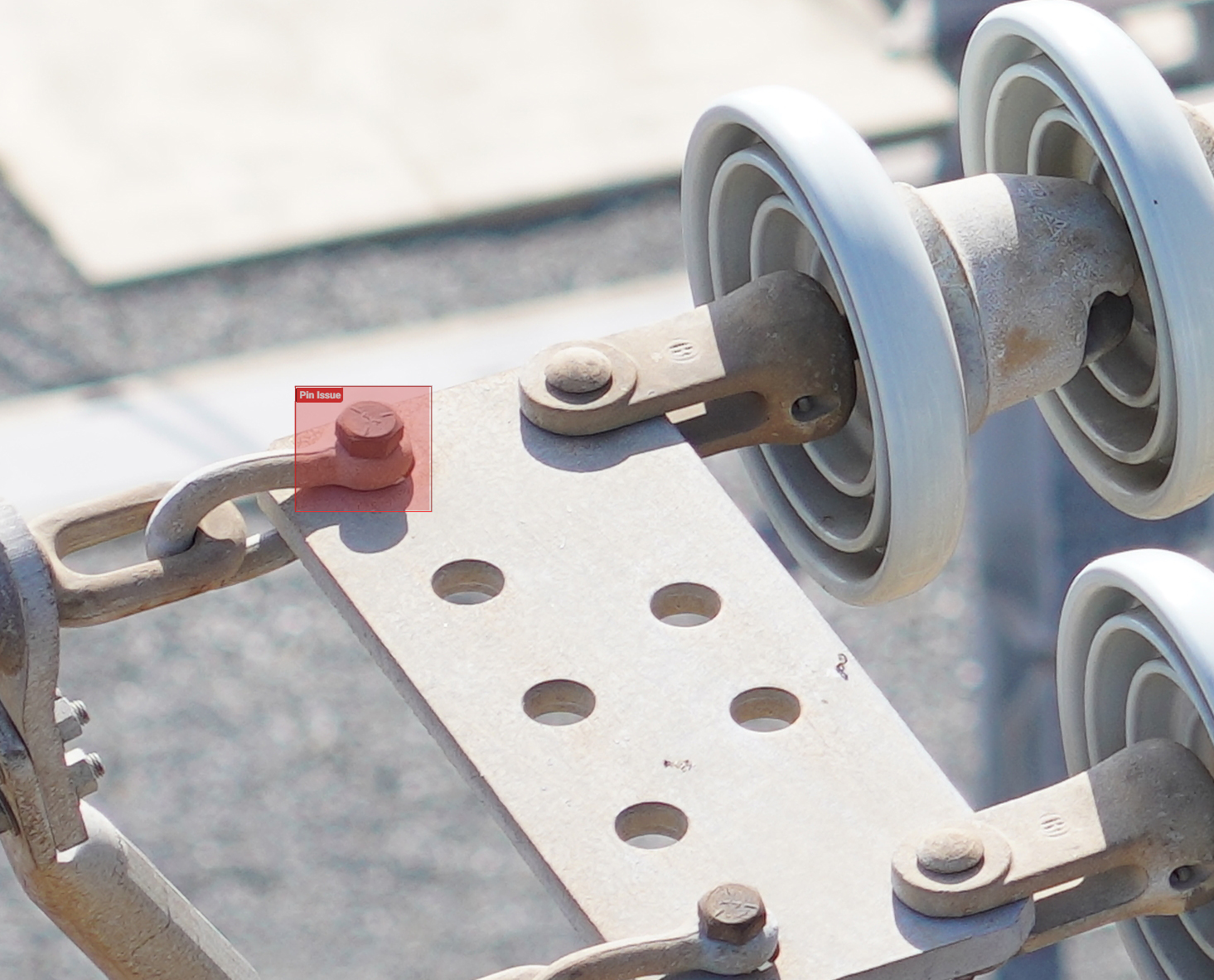
AI engines can automatically detect features like:
- Insulators, crossarms and arresters for power companies
- Solar panels, wiring, inverters for solar farms
- Cracks, rust and missing hardware
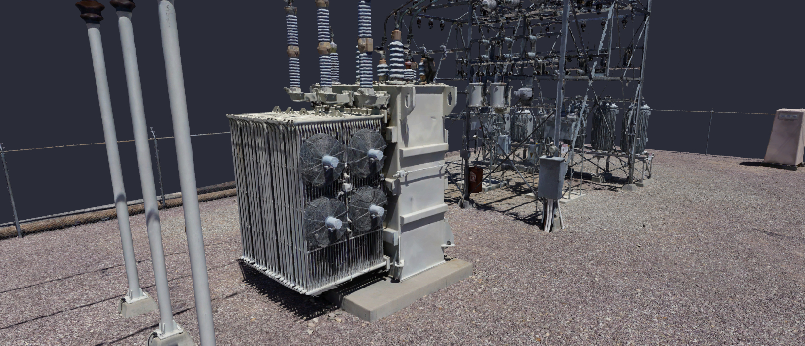
We Specialize in Precision
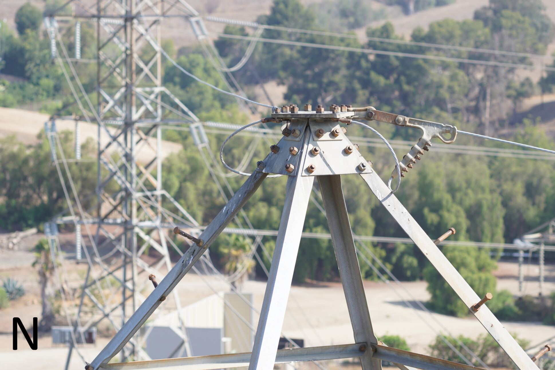
Our 3D models can accurately measure up to 1/32 of an inch so you can get an in depth analysis of your fiber snow shoes, copper cables, terminals and messenger wires. Within the model, teams can make focused, precise measurements, identify maintenance needs, generate reports, and export to various files types like CAD.
