LiDAR vs. Photogrammetry: Modeling Critical Infrastructure
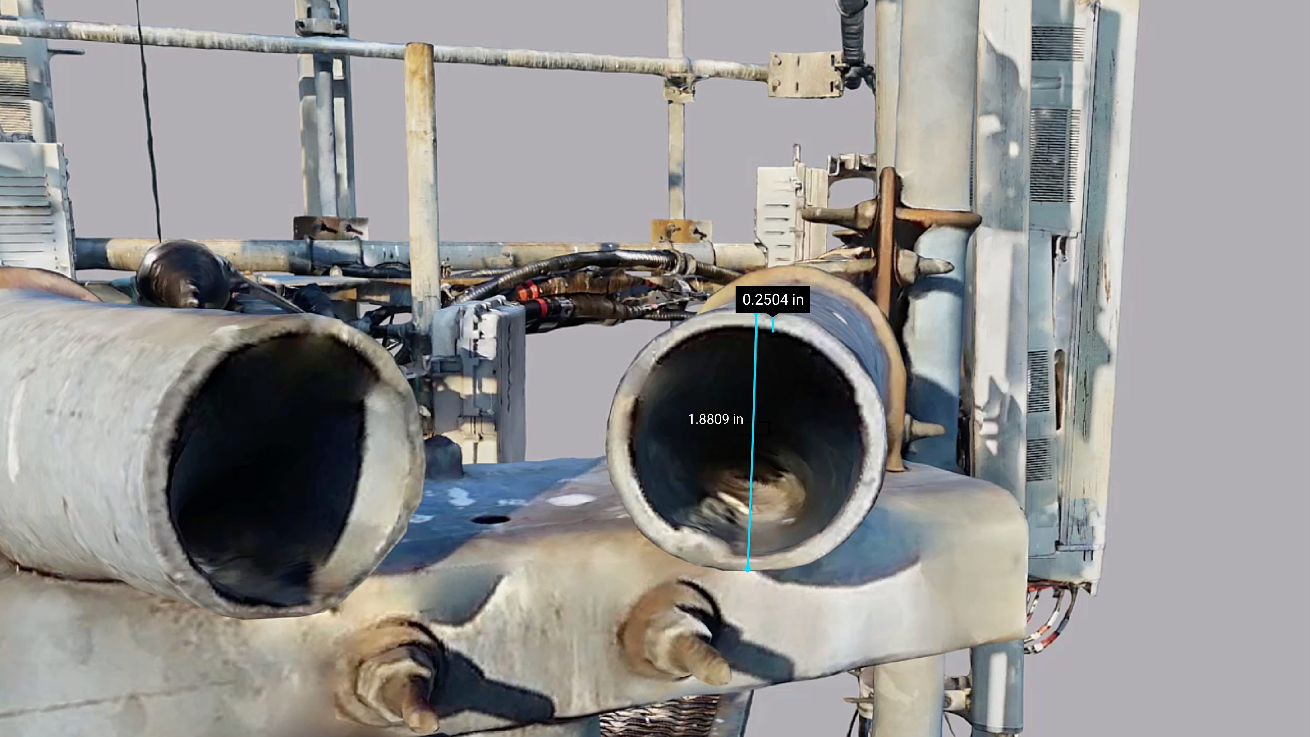
Author: Gabrielle Eagles Technology is rapidly advancing in spatial data collection and two technologies are most commonly know for creating 3D models of the environment: LiDAR (Light Detection and Ranging) and Photogrammetry. While both offer incredible value, they each have distinct advantages and specific use cases where they excel. Rather than viewing them as competing […]
Read More »